
Earthquake risk is a normal part of living in Waimakariri, similar to much of New Zealand.
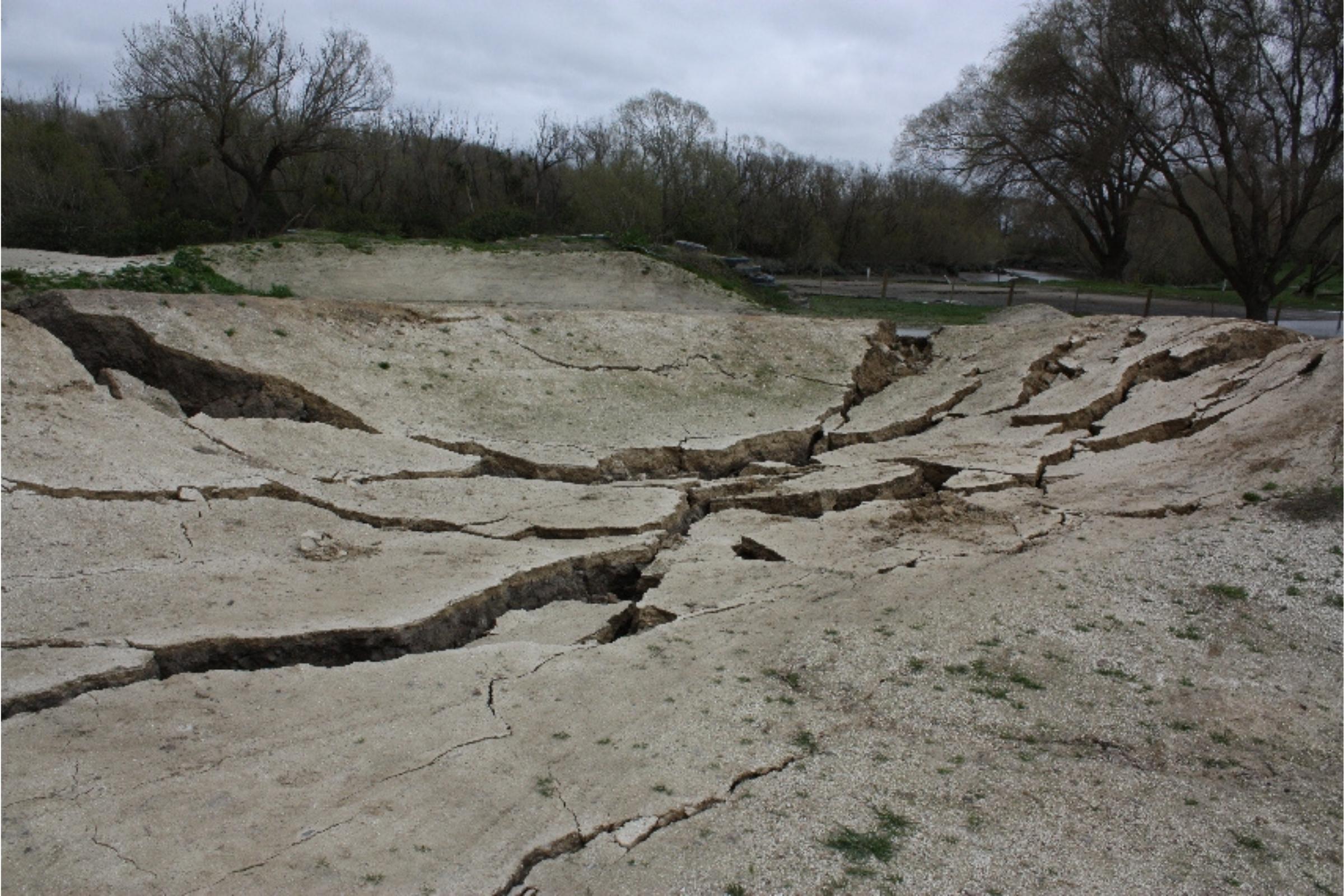
Waimakariri District has had a significant but highly localised experience with earthquakes, particularly during the 2010–2011 Canterbury earthquake sequence.
The September 2010 magnitude 7.1 Darfield earthquake caused the greatest direct impact on the district, triggering extensive liquefaction and lateral spreading in low‑lying eastern areas, especially Kaiapoi, Kairaki Beach, and The Pines Beach.
The February 2011 Christchurch earthquake (magnitude 6.2–6.3) was devastating for Christchurch city but had less direct impact on Waimakariri, instead compounding damage already caused by the September 2010 event.
These earthquake events led to long‑term land damage, red‑zoning of residential areas, and substantial infrastructure repair and recovery work.
Known earthquake risks
A major eruption of the South Island Alpine Fault of approximate magnitude eight (AF8), is a high likelihood for New Zealand. This scenario is expected to present severe and widespread impacts for Waimakariri but it is worse for some other parts of the South Island.
Learn more at af8.org.nz
Subduction zones are responsible for some of the largest and most powerful earthquakes and tsunamis in the world.
The Hikurangi subduction zone is potentially the largest source of earthquake and tsunami hazard in New Zealand. In Waimakariri, it could produce an earthquake up to three minutes long, with the potential for damaging shaking.
Learn more about the Hikurangi Subduction Zone.
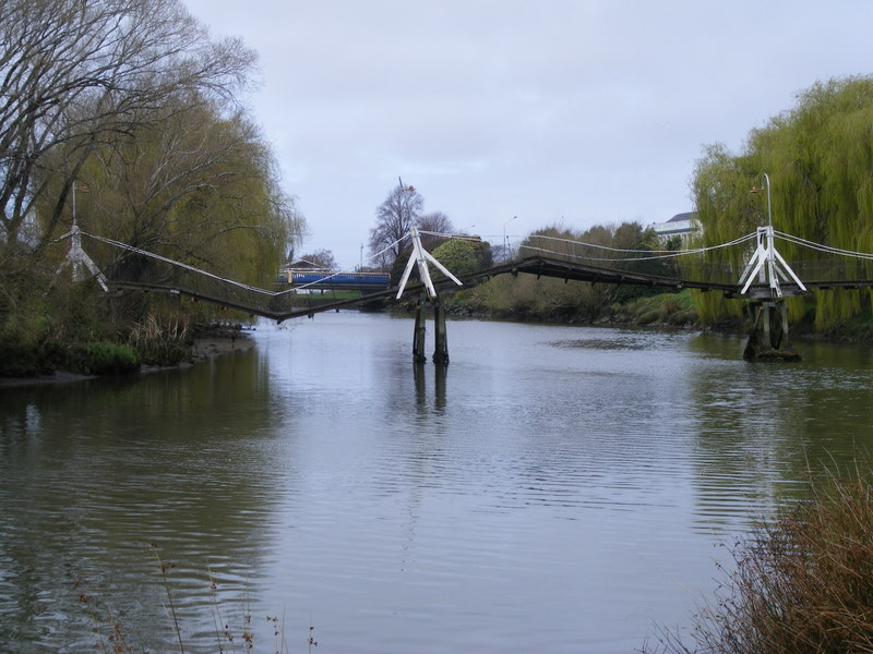
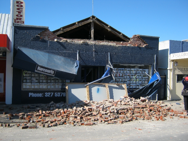
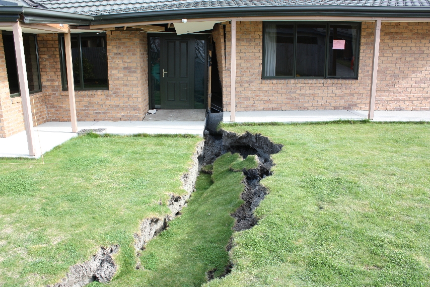
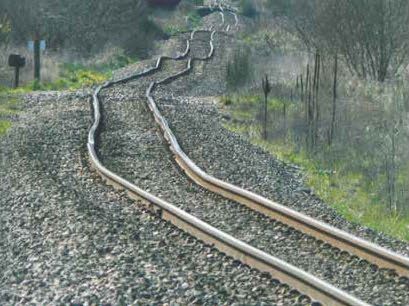
Photos from Canterbury earthquakes
To find more photos from the 2010/2011 Canterbury earthquakes, visit the Waimakariri Heritage website.
More information
- Find out where Waimakariri’s faults are.
- Make your home quake safe.
- Visit GeoNet for the latest earthquakes.
- Learn how to prepare for an earthquake at getready.govt.nz